
Sources for Jeffersonville Neighbors
Different records answer different block questions. Clark County's map shows how parcels touch. The assessment system adds owner and property details. The Recorder supplies legal instruments, while voter access follows Indiana election law rather than a simple block roster. Historical directories can show an older street sequence. Private community pages may publish officers, maps, or events, but their member material is not a public record.
| Source | Block facts available | Access route |
|---|---|---|
| Clark County Elevate GIS | Parcel edges, address points, dimensions, streets, zoning, and spatial context | Free guest viewer |
| Clark XSoft | Owner, situs, parcel ID, district, legal description, transfer, and assessment fields | Free public portal |
| Recorder and Auditor | Deeds, lot and block references, legal descriptions, plats, and uncertain boundaries | Online index and courthouse counters |
| Indiana voter records | Public registration data subject to request, redaction, and use rules | Portal, precinct browse, or VRG-24 request |
| JTPL and community pages | Past street order, maps, public officers, events, rules, and contacts | Library, public page, or member access |
An owner row proves that a source links a person or entity to a parcel at its stated date. It does not prove current occupancy. A church, public authority, common area, business, or multi-parcel entity can own land. Mailing and property addresses may differ, too. Keep those limits beside any account of Jeffersonville neighbors.
Open a Jeffersonville Parcel Map
Use the Clark County Elevate viewer to locate the target by address, parcel ID, or owner. Turn on parcel boundaries, address points, dimensions, streets, and the zoning or land-use layer needed to read the block. Click the target polygon and save its parcel ID, situs address, owner label, district, and map scale. Labels can overlap, so the ID is the best handoff to XSoft and the county offices.
Identify each side lot, the parcel behind, lots across the street, and corner parcels. Alleys, common ground, and split parcels may be easy to miss at one zoom level. Elevate is a visual aid, not the controlling legal description. When boundaries conflict, check the deed or Auditor Plat Room.
Note: Save parcel IDs before leaving the map because owner labels and street placement can be hard to read at a wide scale.
Map Jeffersonville Neighbors by Parcel
The sound process moves from one known address to a ring of parcels. XSoft's Data grid shows Property ID, Owner Name, Address, City, Map, and Detail. Its detail view adds neighborhood, taxing district, school corporation, legal description, acreage, transfer history, and improvement fields. These are parcel facts, not a list of all people who live on the block.
- Search the exact address in Elevate and record the target parcel ID.
- Click the polygons on both sides, behind, across the street, and at each corner.
- Open each ID in XSoft and capture owner, situs, mailing line, legal description, and source date.
- Use Recorder instruments and the Auditor Plat Room when a line, alley, lot, or subdivision is unclear.
Repeat the same fields for each parcel so comparisons remain fair. For a question that extends beyond the immediate block, the Jeffersonville street directory follows the full named street.
Jeffersonville Owners Are Not Occupants
A parcel card can list an owner and mailing address, yet neither field proves who lives at the situs. The owner may be an entity, and mail may go elsewhere. A voter record is also a distinct fact with election-law and protected-address limits. USPS warns that a ZIP result does not confirm a person or company at an address.
Label each field as recorded owner, property situs, mailing address, or registered voter. Do not merge them into a household profile. If an address is hidden or substituted, Indiana Safe at Home or voter confidentiality may apply. A no-result is not proof that someone left Jeffersonville.
Keep the facts apart. Parcel ownership, voter registration, association membership, and current occupancy are separate claims with separate sources.
Jeffersonville Neighborhood Community Pages
No current official citywide association directory was found. Public community sites still offer narrow context. They may show officers, events, bylaws, maps, newsletters, or the existence of a member directory. Label each as private, check its date, and never imply that every nearby parcel belongs to the group.
| Community | Public material | Limit |
|---|---|---|
| Raintree Ridge | Rules, meetings, officers, events, address map, newsletter, and contacts | Private Jeffersonville 47130 community |
| Crystal Springs | Meetings, covenants, forms, and a Community Directory | Directory access may be limited |
| Whispering Oaks II | Community information and a public board page | Private group founded in 2005 |
The Raintree Ridge site shows the sort of public material available around some Jeffersonville blocks.
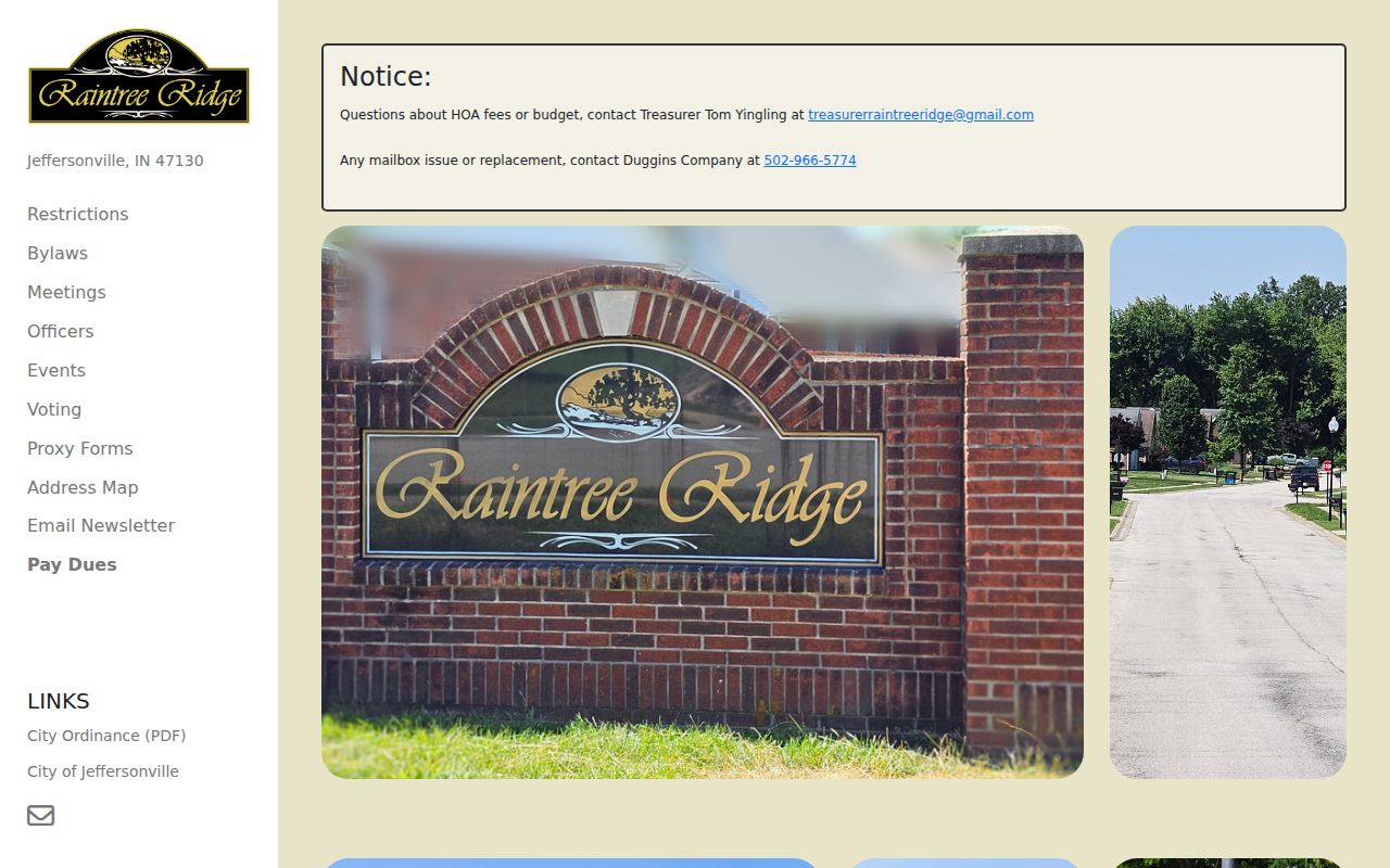
It can add local contacts and map context, but it cannot replace parcel or deed evidence.
Public Pages for Jeffersonville Neighbors
The Whispering Oaks II community page shows how a private group can publish civic information without opening a full member list.
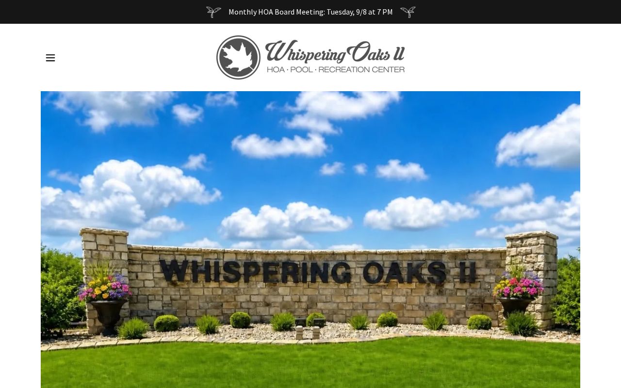
The page also references work with the Jeffersonville Neighborhood Leadership Academy, a network named in city planning material.
The public board page supplies a distinct contact route.
Use only what the group chose to publish. Private names, phone lists, and gated directory entries stay private.
Jeffersonville Voters at Block Scale
The Indiana Voters portal supports registration lookup and precinct or split browsing, but it does not offer a simple screen listing everyone on a Jeffersonville block. Public registration data is controlled by IC 3-7-27-6 and related election law. Eligible broad requests use VRG-24 and include use and transfer certifications.
Full Social Security numbers, protected participants, and other restricted fields are withheld or redacted. A voter address is not a live occupancy report. For the immediate block, parcel geometry and recorded ownership are the best first layer. Keep voter material separate and carefully labeled.
Jeffersonville Permits Shape the Block
Public city records can explain visible change without identifying private occupants. The Jeffersonville applications page routes users to GeoPermits and permit forms.
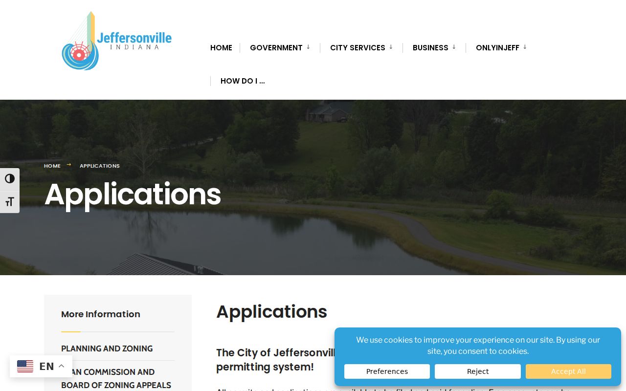
If the portal does not expose an address result, submit an identifiable written APRA request for city permit or project records. Phone and counter help from City Planning and Zoning remain part of the access chain.
The city's land-use and zoning page gives planning context for Jeffersonville neighborhoods.
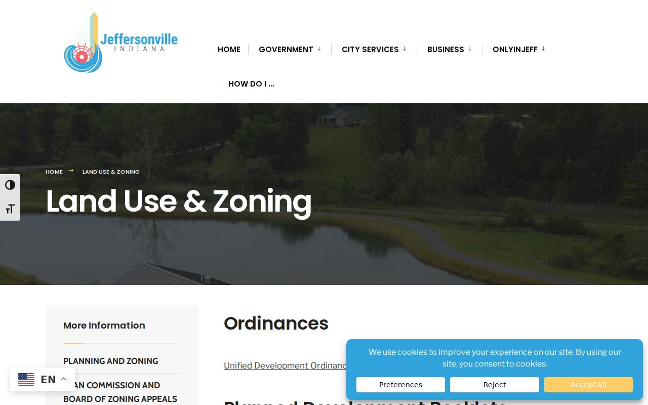
Use it to understand a district or planned use, while the county map and legal instruments control parcel-specific research.
Note: Online, counter, phone, and written request routes all matter when a map or permit portal does not answer the block question.
Historic Jeffersonville Neighbors by Street
Historical blocks need different sources. The Caron street section lists householders by consecutive house number. JTPL pairs it with Sanborn maps from 1886, 1898, 1904, 1911, and 1925. Together they can show who was listed near an old address and how the building footprint changed. They are not continuous or current.
Local history also shapes the map. Claysburg was an early free Black neighborhood around Spring, Eastern, Hamburg, and 15th streets. The Old Jeffersonville Historic District, downtown riverfront, NoCo, and former industrial sites have boundaries that do not align with ZIP, precinct, or parcel systems. Keep city, postal, historic, and property boundaries separate.
Official Jeffersonville Neighbor Sources
An official source has a narrow job and a named custodian. Commercial neighbor tools merge material from several places, may lag behind updates, and can blur owner, occupant, and mailing fields. They may yield a lead, but they do not replace a deed, parcel card, voter custodian, or community's public page.
| Source type | Best use | Limit |
|---|---|---|
| County GIS and assessor | Parcel shape, recorded owner, situs, and assessment context | Does not prove occupancy |
| Recorder and Auditor | Legal instruments, descriptions, subdivision, lot, and plat facts | A deed party may not be a resident |
| Private community page | Public officers, events, rules, maps, and contacts | Member data may be private |
| Commercial category | Possible name or address lead | May be stale, merged, incomplete, or costly |
Confirm each useful lead with the source that created the record. Preserve dates and do not fill gaps with guesses.
Privacy for Jeffersonville Neighbors
Public parcel facts do not make private household details fair game. Do not publish protected voter addresses, association member lists, utility data, or guesses about household members. Indiana Safe at Home can substitute an address in state and local records for eligible participants. XSoft also warns that names and addresses of covered persons are restricted under IC 36-1-8.5.
Use block research for civic curiosity, local history, reconnecting, and personal safety. Contact the custodian when a field seems wrong or withheld. Under APRA, a specific confidentiality law can override general access, and the office should identify the exemption.
Lawful use. Research Jeffersonville neighbors with care. Never use public records or community pages to watch, harass, intimidate, or harm another person.