
Jeffersonville ZIP Coverage at a Glance
Current USPS material makes 47130 the clear street-delivery core for Jeffersonville. Other codes need more care. The newest official destination-label range found for this research spans 47129 through 47131 under a Jeffersonville sorting label, but 47129 belongs to the Clarksville post office. Older federal postal tables also associate more codes with Jeffersonville. Those older rows are route history, not proof of current residential service.
| ZIP | Area or Use | Post Office | Directory Note |
|---|---|---|---|
| 47130 | Standard Jeffersonville street-delivery area | Jeffersonville, 303 E Court Ave | Primary current slice; validate each address |
| 47131 | Included in current destination range | Delivery type not confirmed | Verification-only, not a citywide resident slice |
| 47129 | Clarksville postal area | Clarksville, 757 E Lewis and Clark Pkwy | Sorting label and town boundary can differ |
| 47132-47134, 47144 | Older official Jeffersonville references | Current assignments not confirmed | Historical or route evidence only |
| 47199 | Unique or nonstandard context | Not normal street delivery | Never treat as a general resident ZIP |
The Jeffersonville Post Office lists weekday retail hours of 9:00 a.m. to 5:00 p.m., Saturday hours of 9:00 a.m. to noon, continuous PO Box access, and 812-284-4834. Those facts describe a postal facility. They do not draw a city line. Exact-address validation remains the rule for every entry in a Jeffersonville ZIP code directory.
Search Jeffersonville ZIPs With USPS
The USPS ZIP Code Lookup has three distinct modes. Choose by Address when a street is known. Choose by City and State to see postal codes tied to a city label. Choose Cities by ZIP to see names recognized for one code. A city-label result is not a municipal boundary map, and a ZIP result does not confirm that a person or firm is present.
| USPS mode | Fields and controls | Best use |
|---|---|---|
| By Address | Company; street; unit; city; state; optional ZIP | Confirm one full Jeffersonville delivery address |
| By City and State | City and state required | List postal codes associated with the city label |
| Cities by ZIP | ZIP required | Check preferred or recognized city names |
Multiple address results should be narrowed with unit, company, and full street data. The PostalPro AIS Viewer adds monthly address-quality data such as ZIP+4, route, county, post-office name, delivery code, and delivery type. AIS is a postal-data tool, not a list of Jeffersonville residents.
Jeffersonville Postal Data Screen
The official PostalPro AIS source shows why a postal search has more layers than a five-digit code.
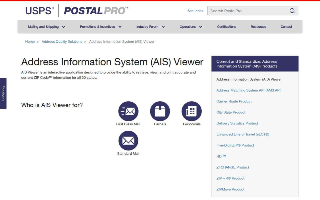
Use the screen to identify the right postal field, then return to the exact address. Do not turn a route-level result into a claim about a named person.
Find Jeffersonville Residents by ZIP
A Jeffersonville ZIP code directory narrows the search area, but local official systems do not share a universal ZIP filter. XSoft starts with owner, address, or parcel and offers district, township, neighborhood, and other property fields in advanced search. Indiana Voters uses first name, last name, Clark County, birth date, or a county, precinct, and split-precinct browse. MyCase uses party, court, case category, status, and filing dates. Each system follows its own records geography.
- Validate the full street address in USPS. Save the preferred city name, five-digit ZIP, and date checked.
- Search Clark XSoft Engage by address. Record the parcel number, situs, district, neighborhood, and assessed owner or entity.
- Use Clark County Elevate to place the parcel against nearby parcels and county or zoning layers.
- Use the resident's name and the fields required by the relevant official roll. Do not substitute the ZIP for a birth date, court, parcel, or precinct.
- Keep each result's date and limits. A postal match proves delivery geography, not occupancy.
Once the work reaches a named road, the Jeffersonville directory by street gives the address-keyed parcel and deed workflow. That handoff keeps ZIP research focused at the right scale.
The 47129 Jeffersonville Label Trap
The most useful local myth to discard is that every item routed under a Jeffersonville destination label lies inside Jeffersonville. USPS identifies 47129 with the Clarksville Post Office, yet the current destination-label range can route 47129 through 47131 under JEFFERSONVILLE IN 47130. Sorting instructions, postal city names, and incorporated boundaries answer different questions.
This matters when a person, parcel, or filing is grouped by ZIP. A 47129 address should not be labeled Jeffersonville without an exact address check and a separate city or parcel source. The same caution runs the other way: a Jeffersonville civic or property record may carry a postal label that does not look like the city name a reader expects. Preserve both the source label and the verified jurisdiction.
Local check. Record postal city, municipal jurisdiction, county district, parcel situs, and mailing address as separate fields.
Older Jeffersonville ZIP References
Older official USPS schemes list 47132 through 47134, 47144, and 47199 with Jeffersonville labels. The research did not locate a current address-level delivery assignment for those codes. A Jeffersonville ZIP code directory can retain them as historical or route evidence, but should not display them as ordinary current residential zones.
Code 47199 appears in official federal or Census-style address contexts as unique or nonstandard. It is not a normal street-resident ZIP. A specific institution or address must be verified before that code is used. Code 47131 also stays in a verification-only category until USPS identifies its present delivery type and street coverage. This approach keeps a useful old record without turning it into a false current claim.
For an old directory, deed, or newspaper, copy the ZIP and city label exactly as printed. Then add a current USPS result as a separate field. Historical evidence and present delivery data should never overwrite each other.
Jeffersonville Records Use Other Boundaries
Clark County property records use parcel numbers, city, district, township, neighborhood, and legal descriptions. The inspected XSoft search did not expose a simple ZIP-first filter. Parcel IDs and district codes therefore make better local keys when a postal label shifts. The Recorder follows names, instruments, dates, and legal descriptions. Neither office treats a five-digit ZIP as the legal identity of land.
Indiana Voters uses county, precinct, and split precinct. MyCase uses courts and case categories. INBiz does offer a ZIP field in advanced business search, but that result concerns a filed business address, not all people at that place. Municipal plans and zoning maps add city limits, historic districts, and annexation context. The Ohio River, nearby Louisville, Clarksville, and decades of growth make these overlapping maps quite visible in Jeffersonville.
Census figures provide city scale, not ZIP totals. Jeffersonville counted 49,447 people in the 2020 Census, covered 34.08 square miles of land in the cited table, and had a 2025 estimate of 54,134. None of those numbers can be assigned to 47130 as though city and postal area were equal.
Jeffersonville ZIPs Versus City Limits
Postal routes are built to deliver mail. Municipal limits govern the city, parcels define land, precincts organize voters, and courts define legal jurisdiction. A Jeffersonville ZIP code search should keep those systems apart. For each address, validate the postal result, locate the parcel, identify the municipal or county district, and only then search the record system that answers the resident question.
- ZIP and ZIP+4
- A ZIP is the five-digit delivery area. ZIP+4 adds a smaller delivery segment, such as a block, building, or group of boxes.
- PO-box ZIP
- A code or delivery use centered on post-office boxes rather than ordinary street delivery.
- Unique ZIP
- A code assigned for a high-volume institution or other special recipient, not a general neighborhood.
- Carrier route
- The path used to deliver mail to a set of addresses. It can cross lines that matter to city or parcel records.
A ZIP result cannot confirm a person or company at an address. If a protected record, stale filing, or mailing-versus-situs difference appears, retain that limit. The most accurate Jeffersonville ZIP code directory is the one that says what each geographic field can and cannot prove.